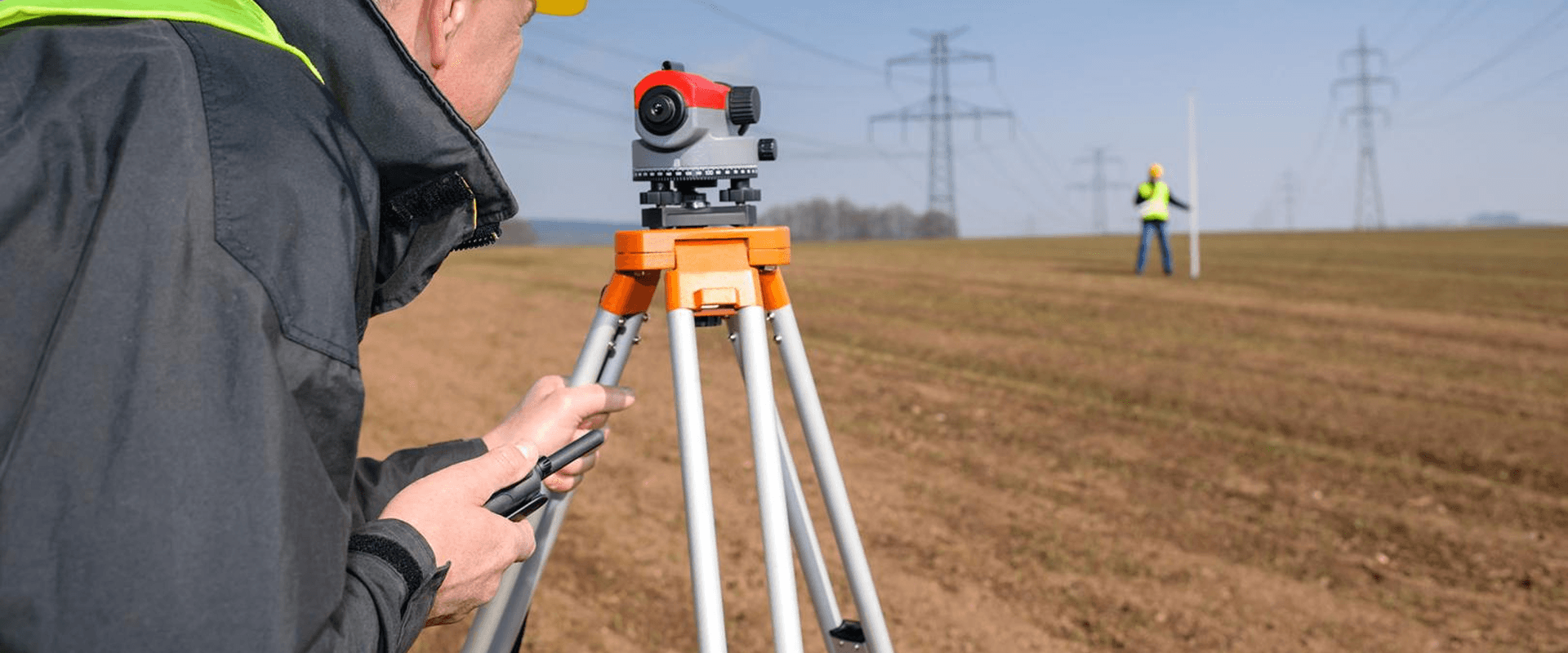
CFI Tech operates in the fields of geo-referencing and topography. Field teams of CFI Tech have the skills required to carry out topographical surveys, and have at their disposal new technologies such as: photogrammetry, 3D, drones or even BIM.
Topographic surveys - Locations
Through their training and know-how, our surveyors provide numerous topographical services to meet the needs of a diverse clientele. Our engineers, specifically trained on AutoCad and Editop, will be able to produce the plans allowing a representation adapted to your needs.
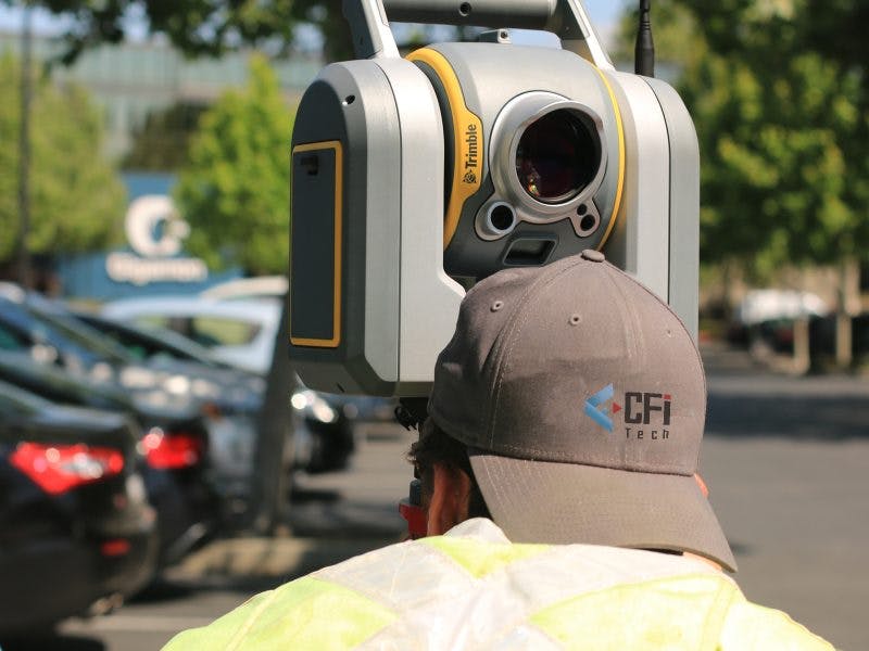
Photogrammetry, 3D and BIM
Our specialized 3D and BIM service is based on multi-skills such as photogrammetry (aerial or ground photography) or drone solutions. We are able to produce the parameterized BIM digital model corresponding to your expectations, your objectives and responding to the evolutions of your project.

Our tools